Map theme defines the visual style and can be used to customize the map.
Map overlay feature is used to display the trail map on top of the topo background or satellite imagery.
Hill Shading can be added to any map. Map shading features can impact performance. Elevation data is processed and rendered on the fly.
Phones tend to compress the map layout. Map resolution can be increased to make it easier to view.
-
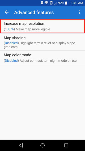
- Navigate to Settings \ Maps \ Advanced Features
- Select Increase Map Resolution
-
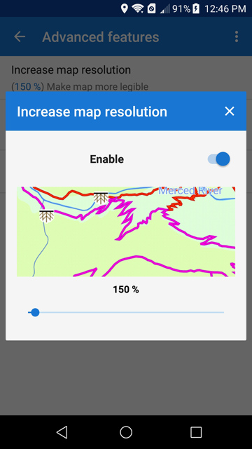
- Enable then select desired map resolution.
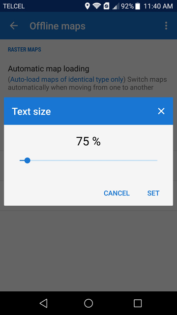
Increasing the map resolution can increase the text size too much. Text Size can be adjusted to compensate.
-
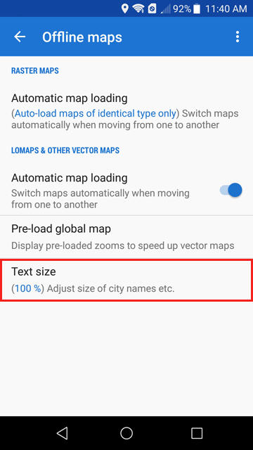
- Navigate to Settings \ Maps \ Offline Maps
- Select Text Size.
-
Locus online map providers are updated when the vector map is installed.
This script can be used to update the map providers list.
Update Map Providers
It will only work when clicked on an Android device with Locus Map installed!